This hiking was part of a 2-week trip in Europe (July 2015).
Zugspitze (2962m/9717ft) is Germany’s highest mountain. It lies next to Garmisch-Partenkirchen town and Eibsee lake and right at the Austria(Tyrol)-Germany(Bavaria) border which is why it can be accessed from both countries.
The Emperor of Austria, Franz Joseph I, gave the northern part of the Zugspitze to Bavaria in 1854 as a marriage present to his wife Princess Elisabeth (“Sissi”) who had been born into a royal Bavarian House.
-
- Zugspitze in the distance
There are 3 options to get to the peak of Zugspitze from Germany :
- From Eibsee → Eibsee-Seilbahn cable car (duration ~10mins);
- From Garmisch-Partenkirchen (through Grainau and Eibsee) → cogwheel train to Zugspitze Glacier Plateau (Zugspitzplatt), then the Glacier Cable Car to the peak (duration ~1h from Garmisch and ~35mins from Eibsee);
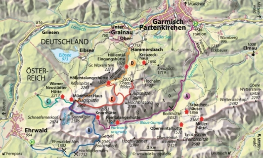
- hiking (there are 5 possible routes in total, including 2 from Austria; we chose the one through Höllental valley);
⚠️Price for going up to Zugspitze: 50€/round-trip. It includes one mountain ascent and descent, either in the form of a round trip on the cogwheel train, a ride on the Gletscherbahn cable car and the Cable car Zugspitze. You can use the Gletscherbahn cable car as often you like on the day of your visit.
Check out this website for the Austrian cable car (Tiroler Zugspitzbahn Talstation) that takes you to the top of Zugspitze.
-
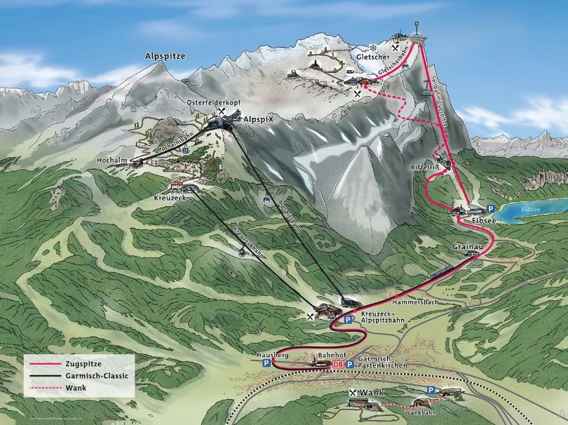
- Zugspitze – German area ©zugspitze.de
-
- Hiking routes to Zugspitze summit ©hikingmadness.wordpress.com
-

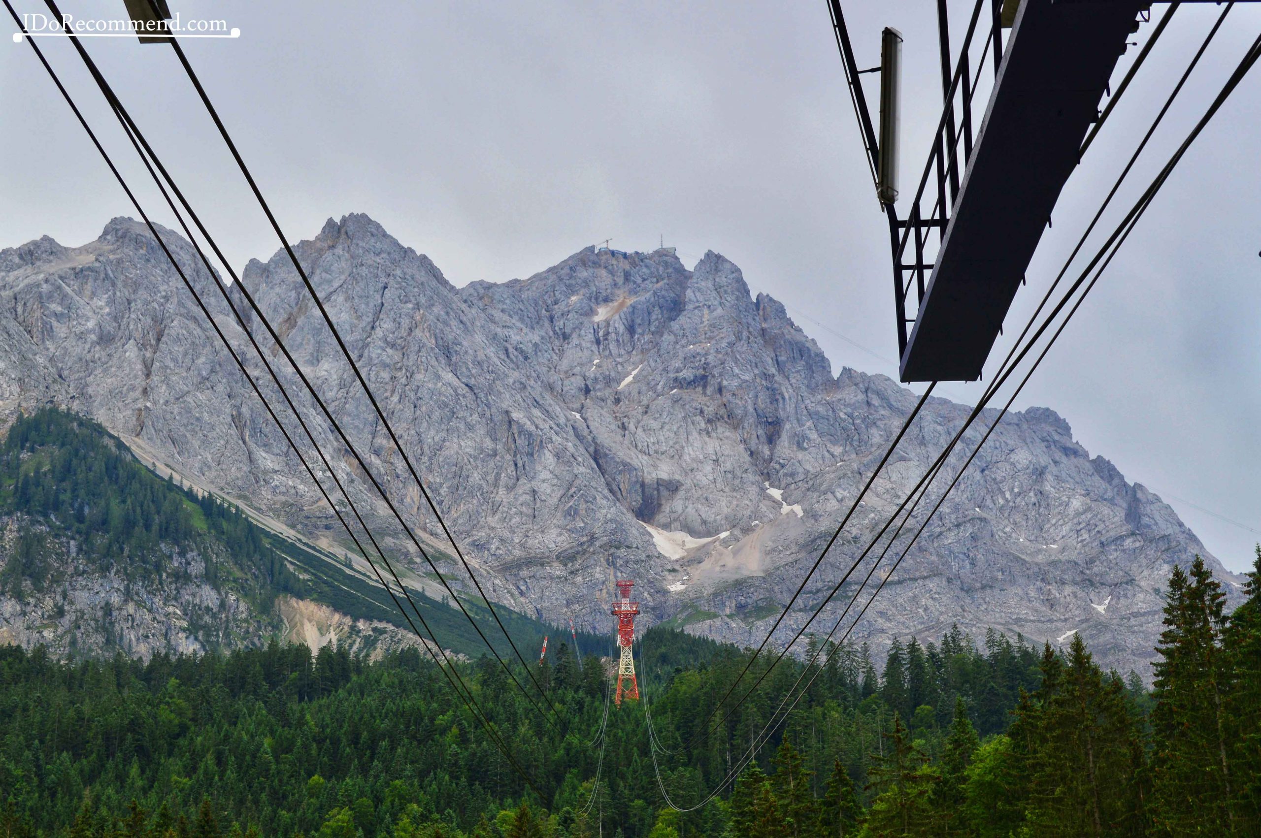
- Eibsee-Seilbahn cable car to Zugspitze
-
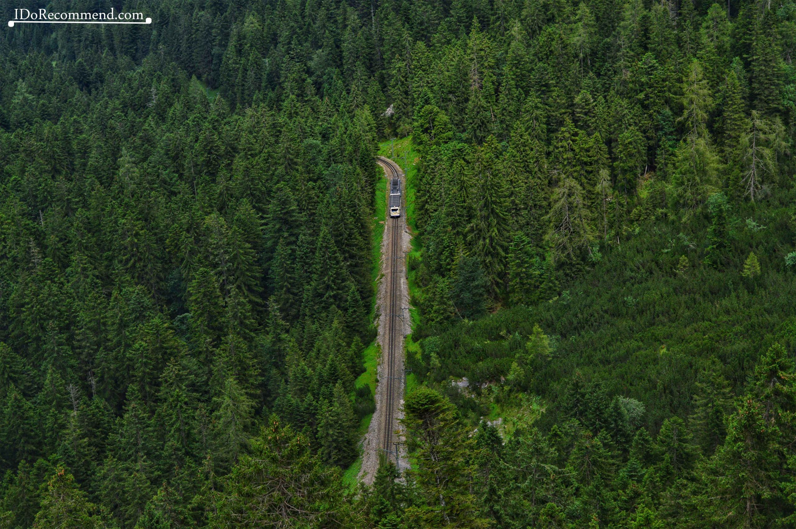
- German cogwheel train to Zugspitze Glacier Plateau
We stayed in Garmisch-Partenkirchen for 2 nights. On the second day my husband decided to go hiking to Zugspitze through Höllental valley. I took the Eibsee-Seilbahn cable car and we met up on the mountain top to have dinner together at Panorama Lounge 2962.
Hiking to Zugspitze through Höllental Valley – technical details
- distance ~9km / 5.5mi;
- duration ~10h for the ascent only! (my husband started the hike at 5am to avoid the traffic jam at Randkluft, the via ferrata section of the hike and not to arrive very late on the peak because usually the weather changes and it’s cloudy in the afternoon; moreover, the last cable car was around 5pm; we took together the Eibsee-Seilbahn cable car to descend the mountain);
- very difficult hike;
- the hike includes a via ferrata (difficulty C);
- climbing equipment needed: helmet, via ferrata kit (harness, carabiners, gloves), crampons for crossing the glacier;
- HIKING TRAIL: Hammersbach (parking lot) → Höllentalklamm (gorge; entrance 5€/adult) → Höllentalangerhütte (Alpine hut)→ Höllentalferner (glacier) → Randkluft (via ferrata on vertical rock wall) → Zugspitze (the summit) → take the Eibsee-Seilbahn cable car down (one-way ticket can be bought on top directly);
⚠️Beware of crevasses when crossing the glacier.
 Photos in chronological order
-
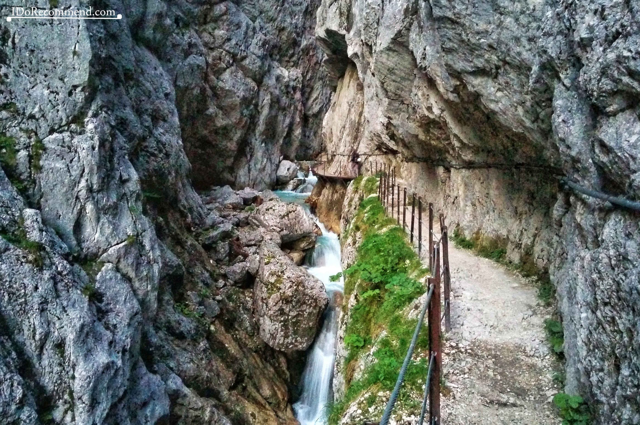
- Höllentalklamm gorge
-
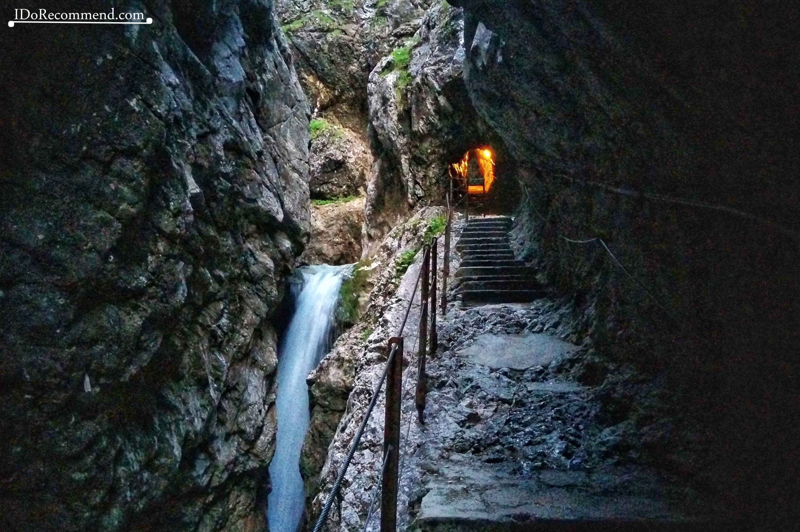
- Höllentalklamm gorge
-
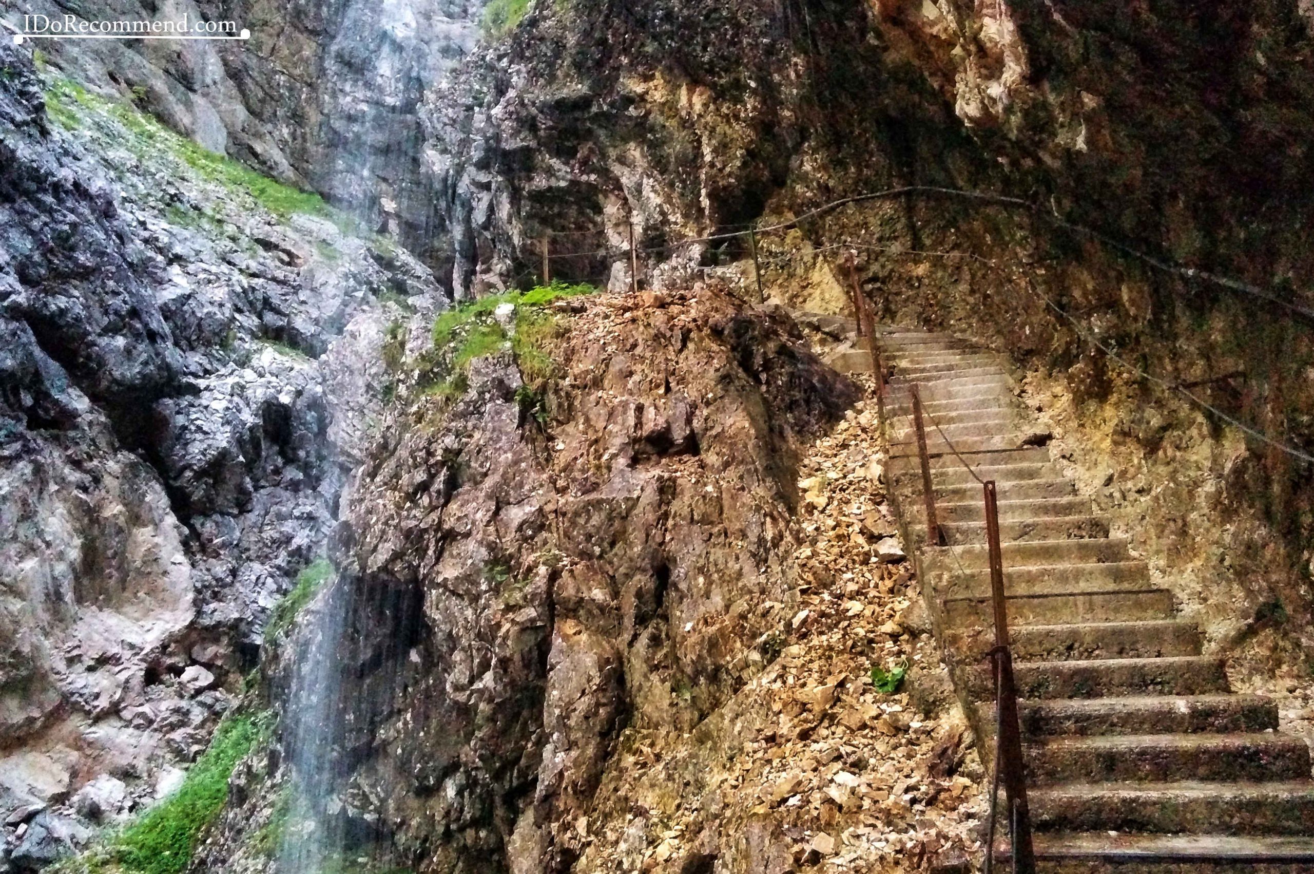
- Höllentalklamm gorge
-
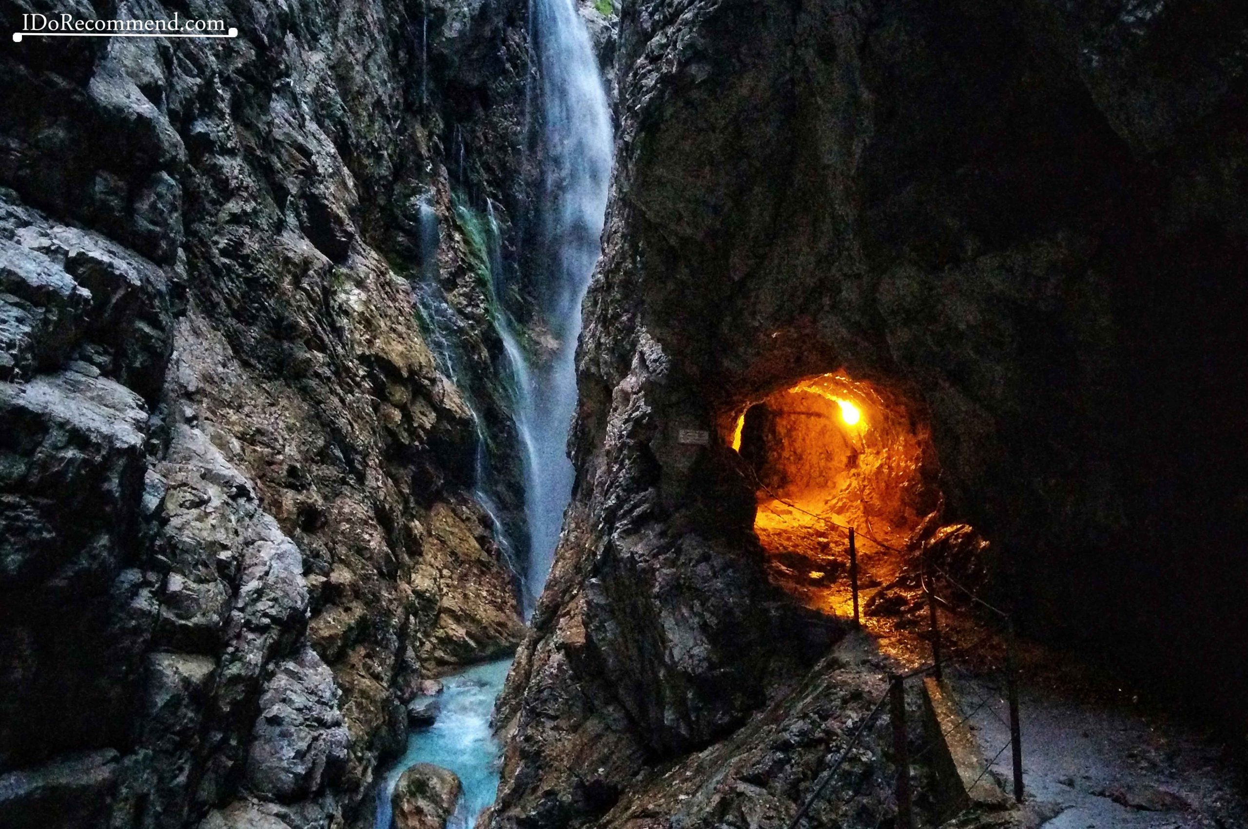
- Höllentalklamm gorge
-
- Höllentalklamm gorge
-
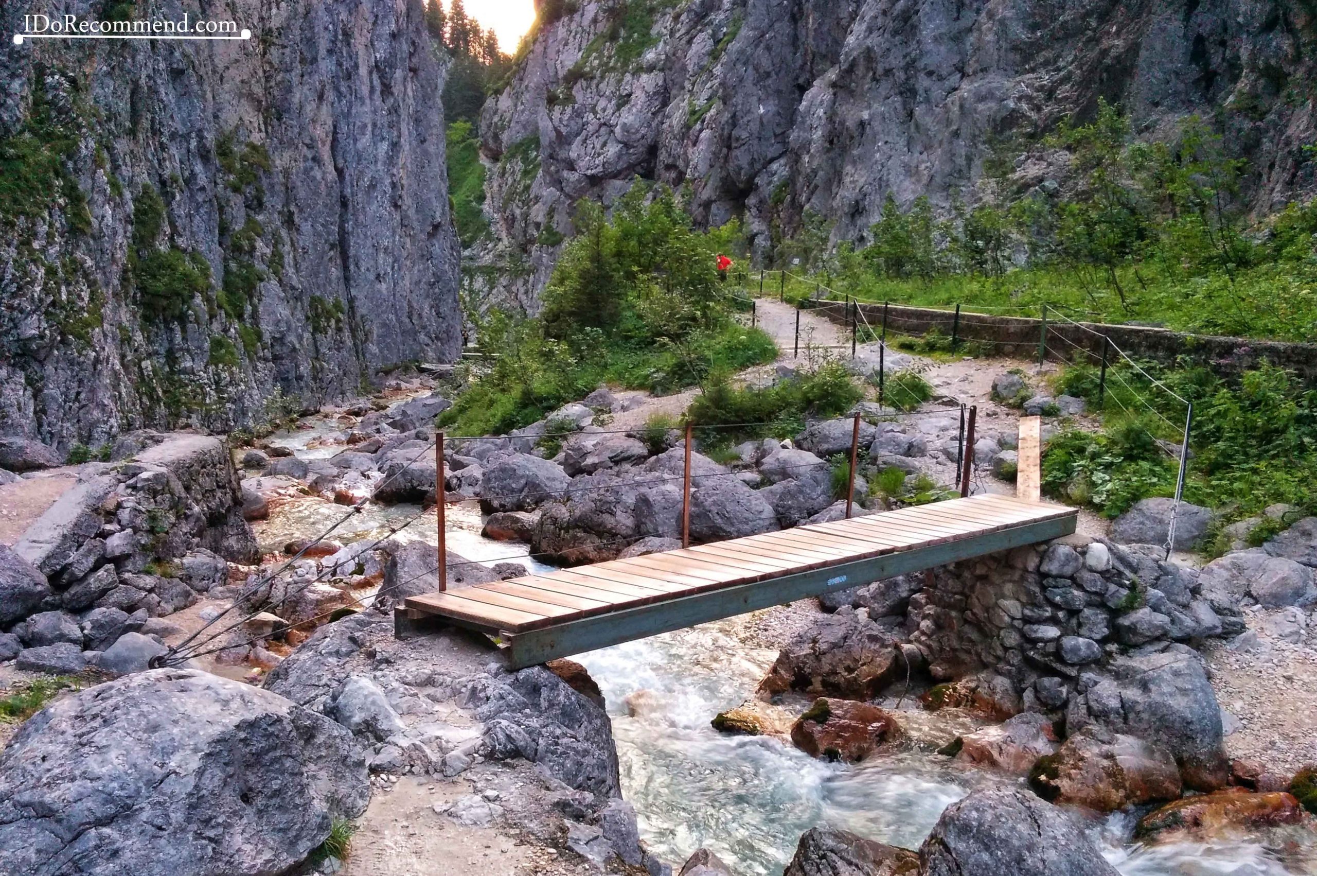
- Zugspitze Mountain | Höllental Valley
-
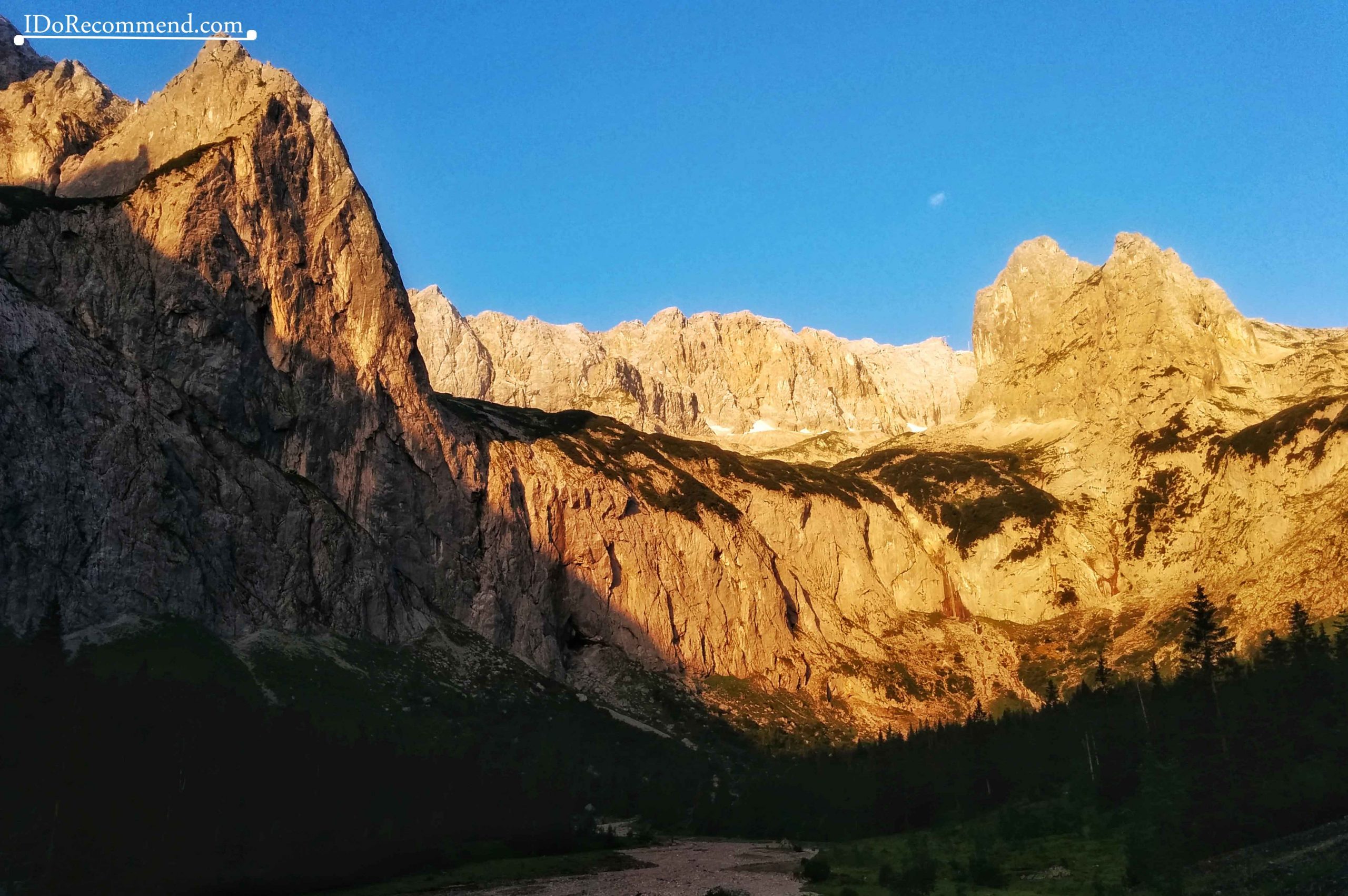
- Zugspitze Mountain
-
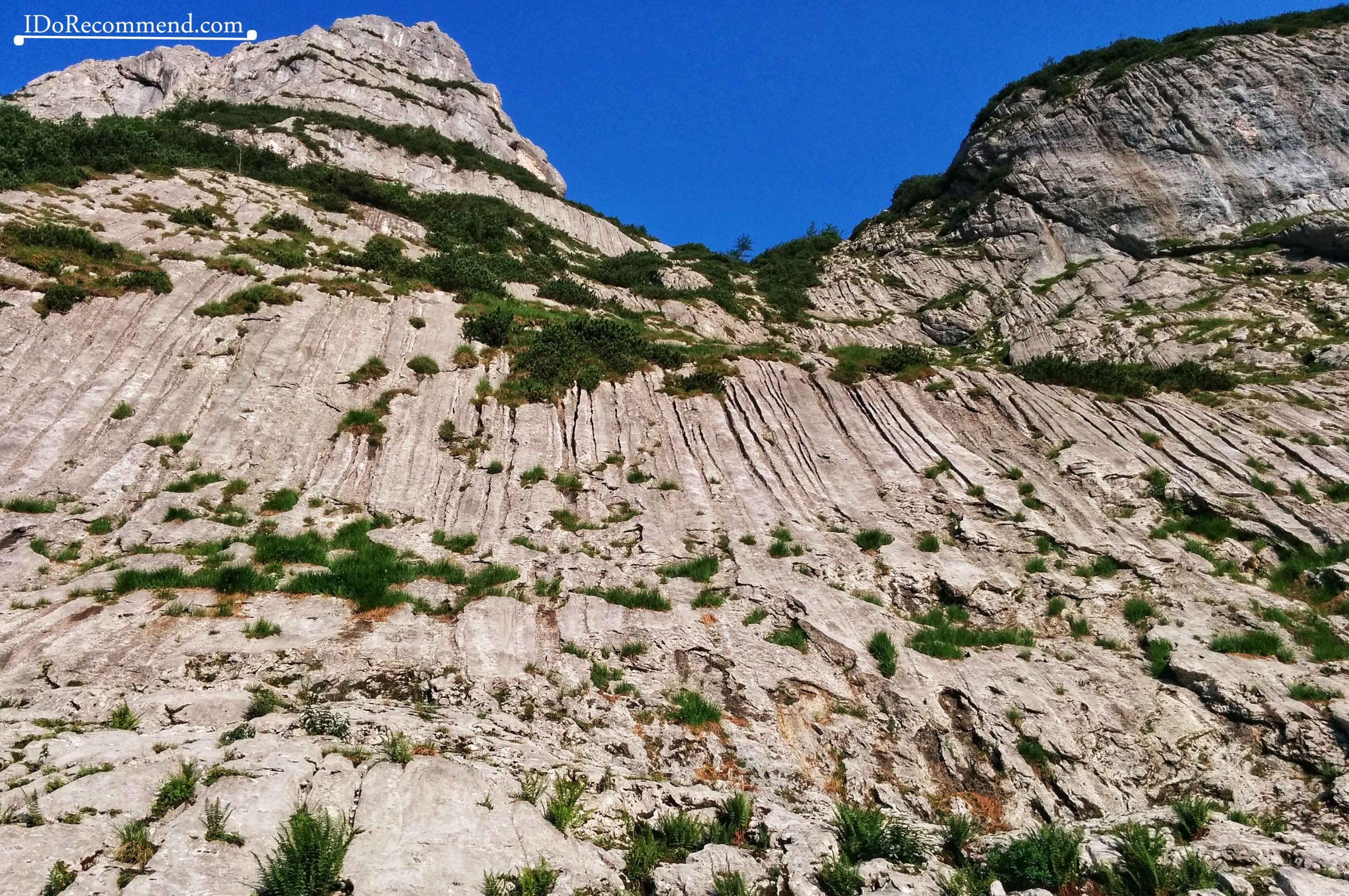
- Zugspitze Mountain
-

- Höllental Valley
-
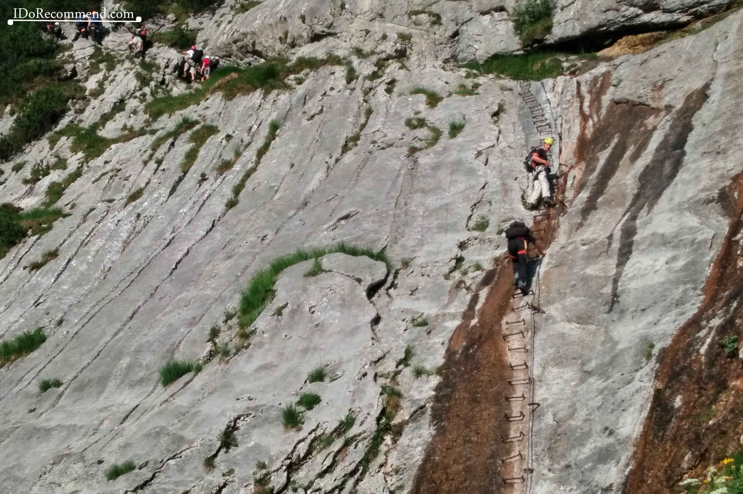
- Zugspitze Mountain – via ferrata – the ladder
-
- Zugspitze Mountain – via ferrata – the board
-
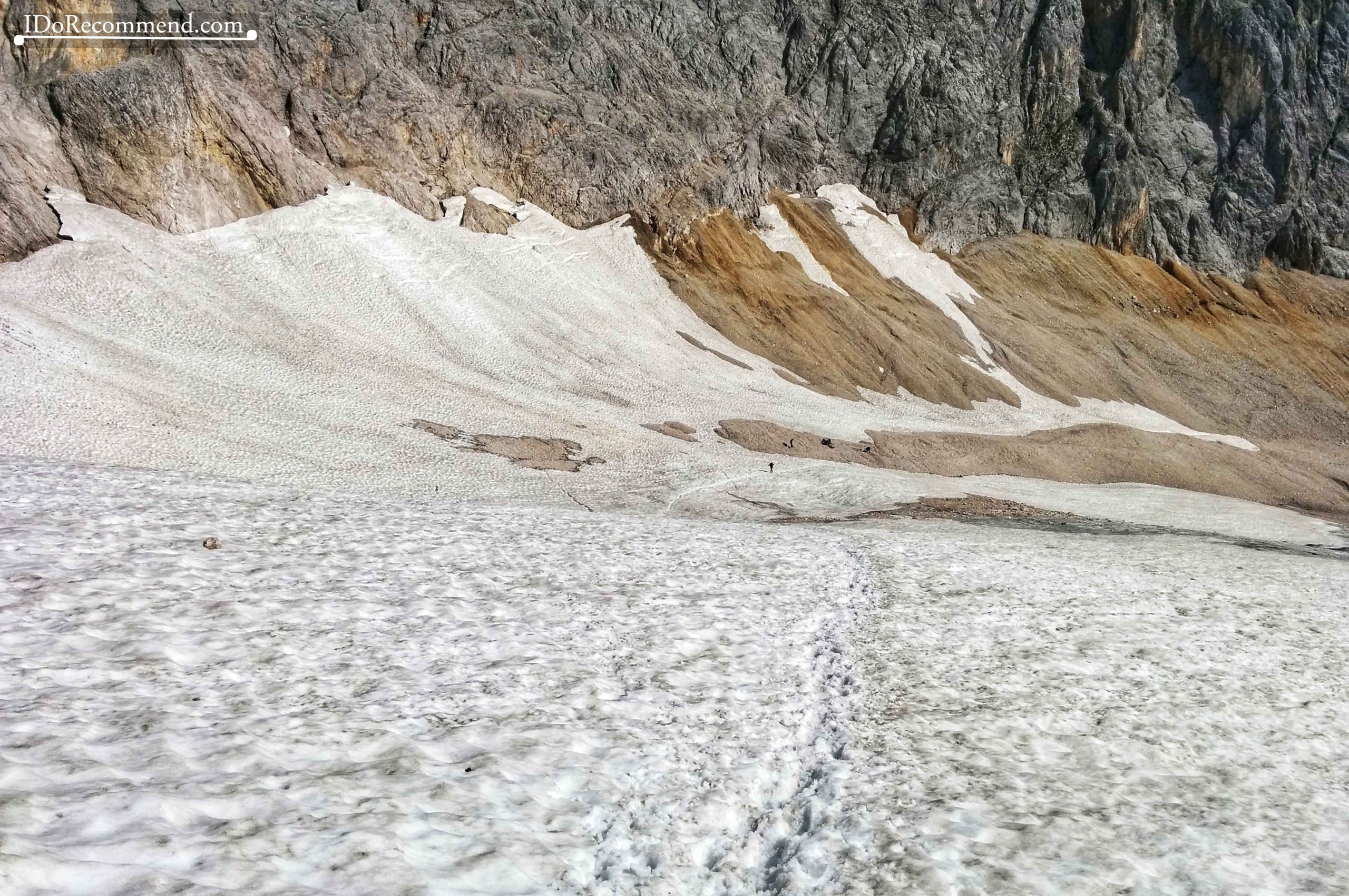
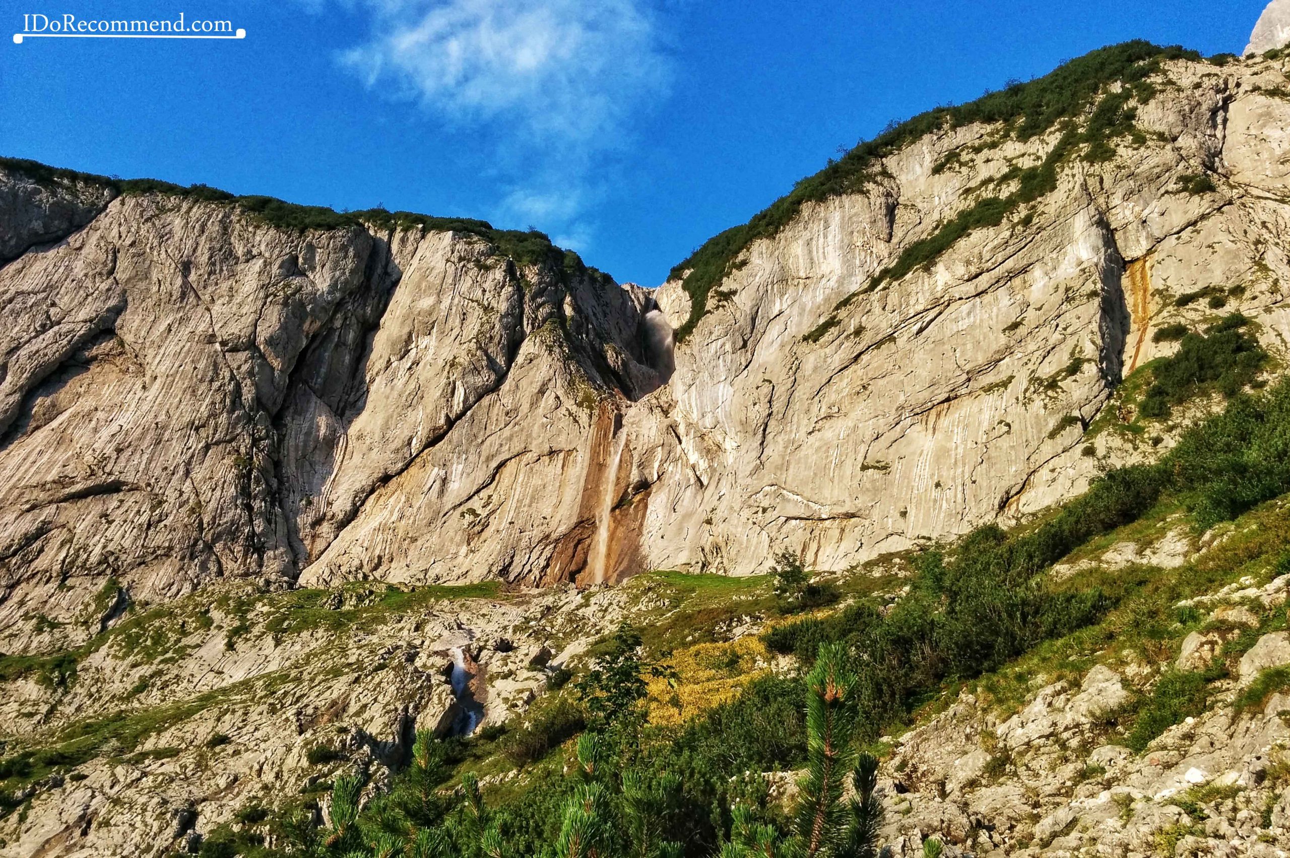
- Höllentalferner glacier
-
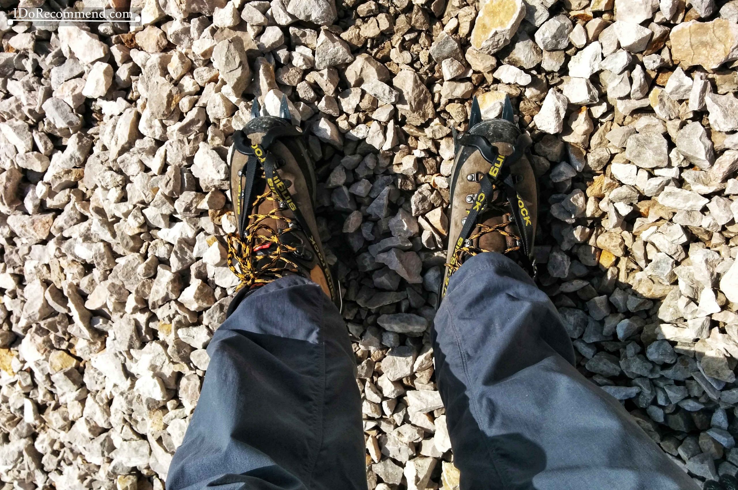
- Crampons for crossing Höllentalferner glacier
-

- Höllentalferner glacier
-
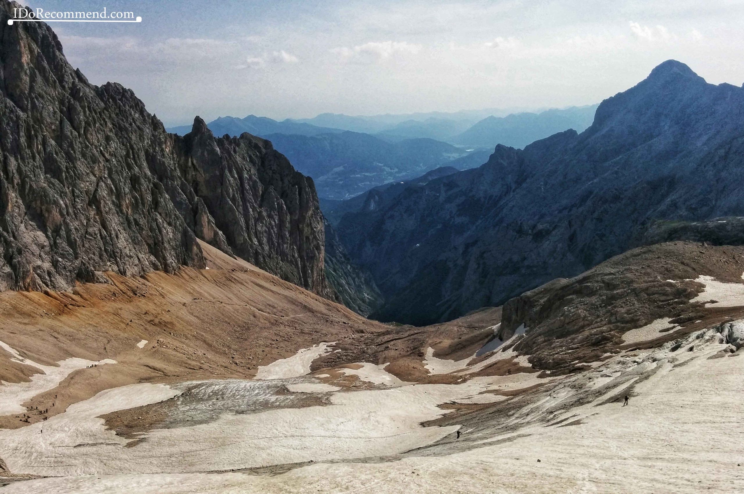
- Höllentalferner glacier
-
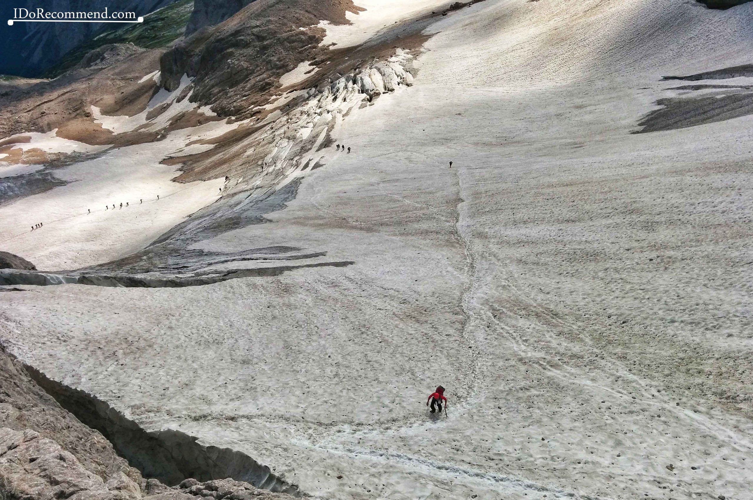
- Höllentalferner glacier
-
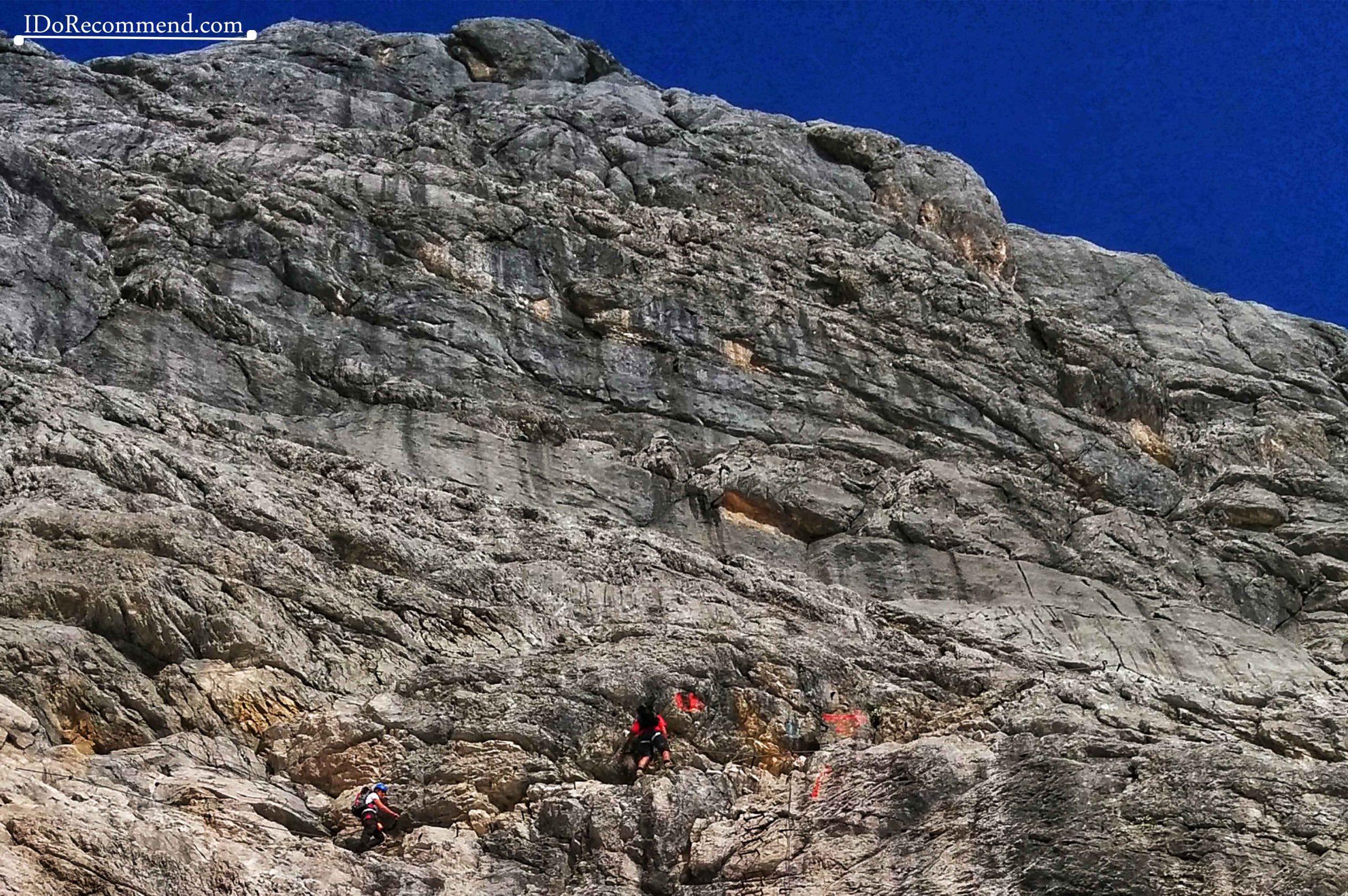
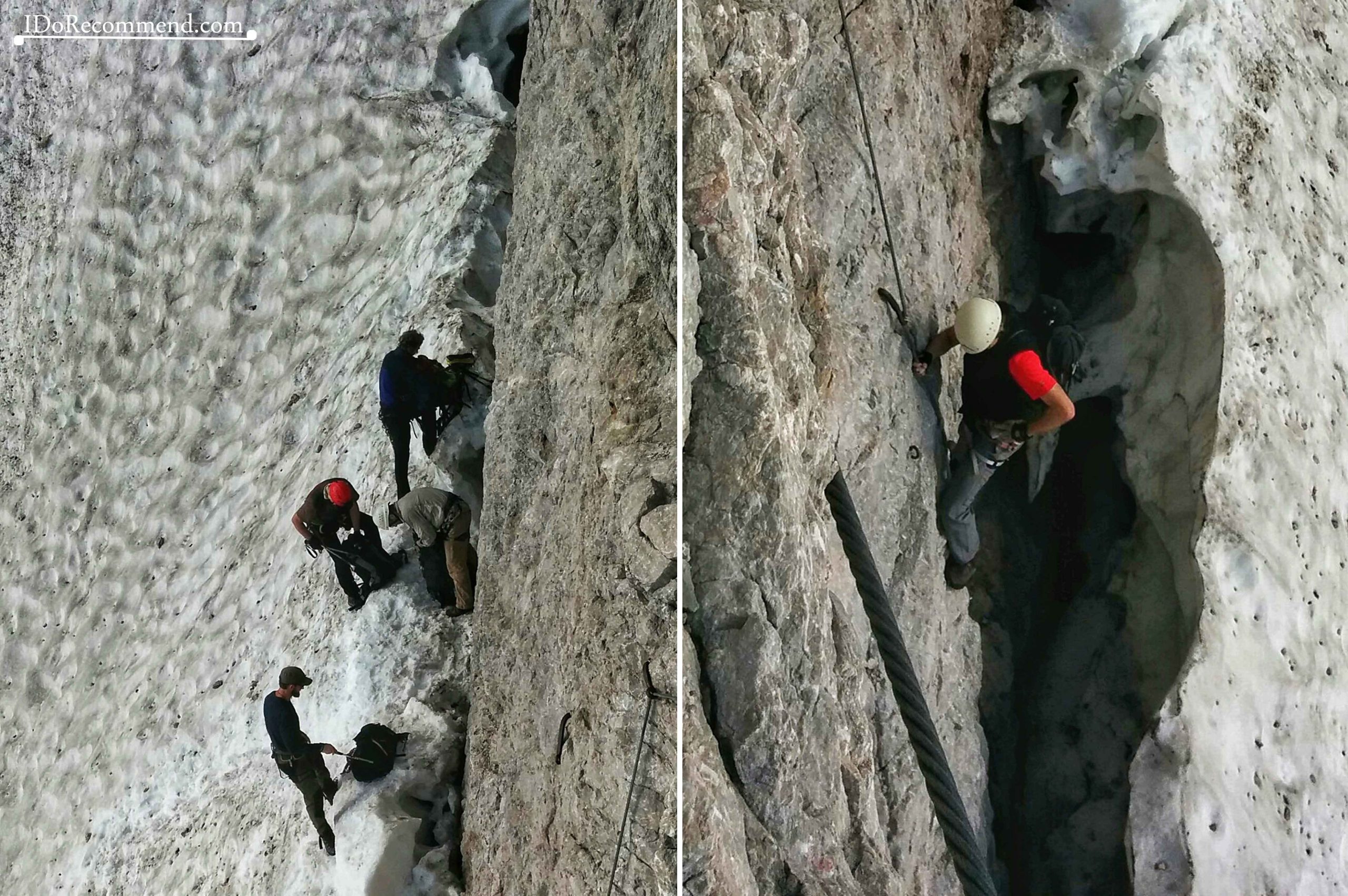
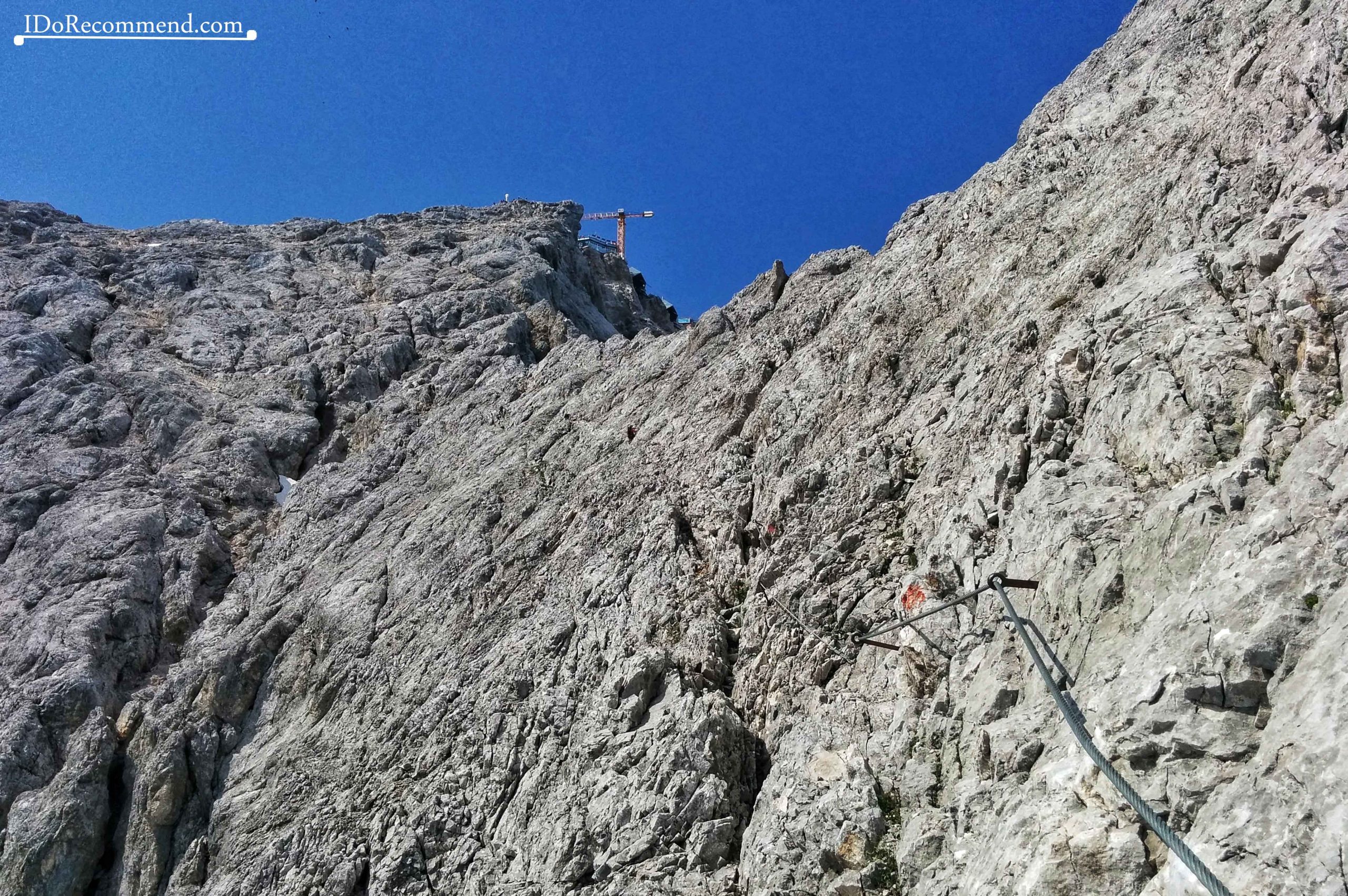
- Zugspitze Mountain | Randkluft
-
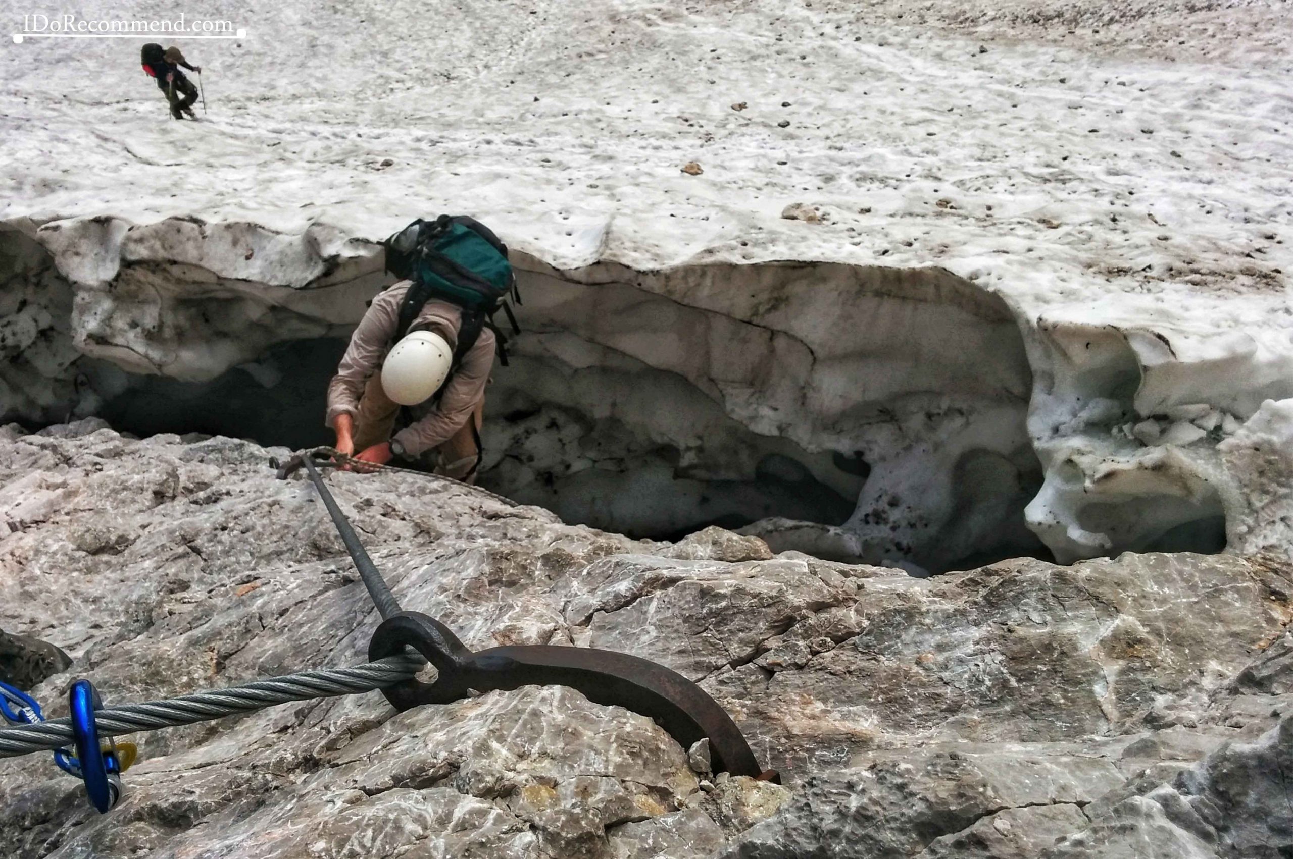
- Zugspitze Mountain | Randkluft edge gap
-
- Zugspitze Mountain | Randkluft edge gap
-
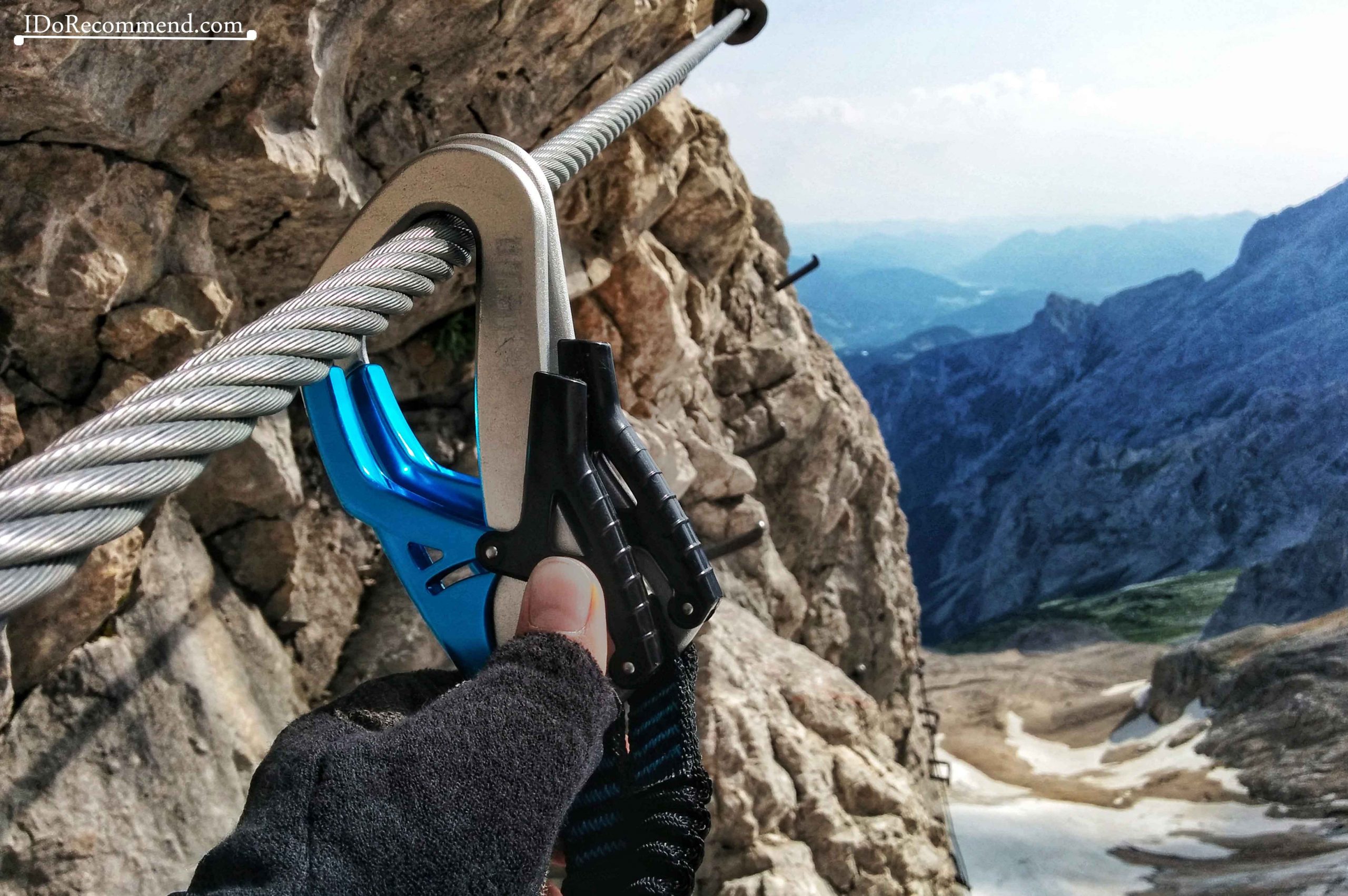
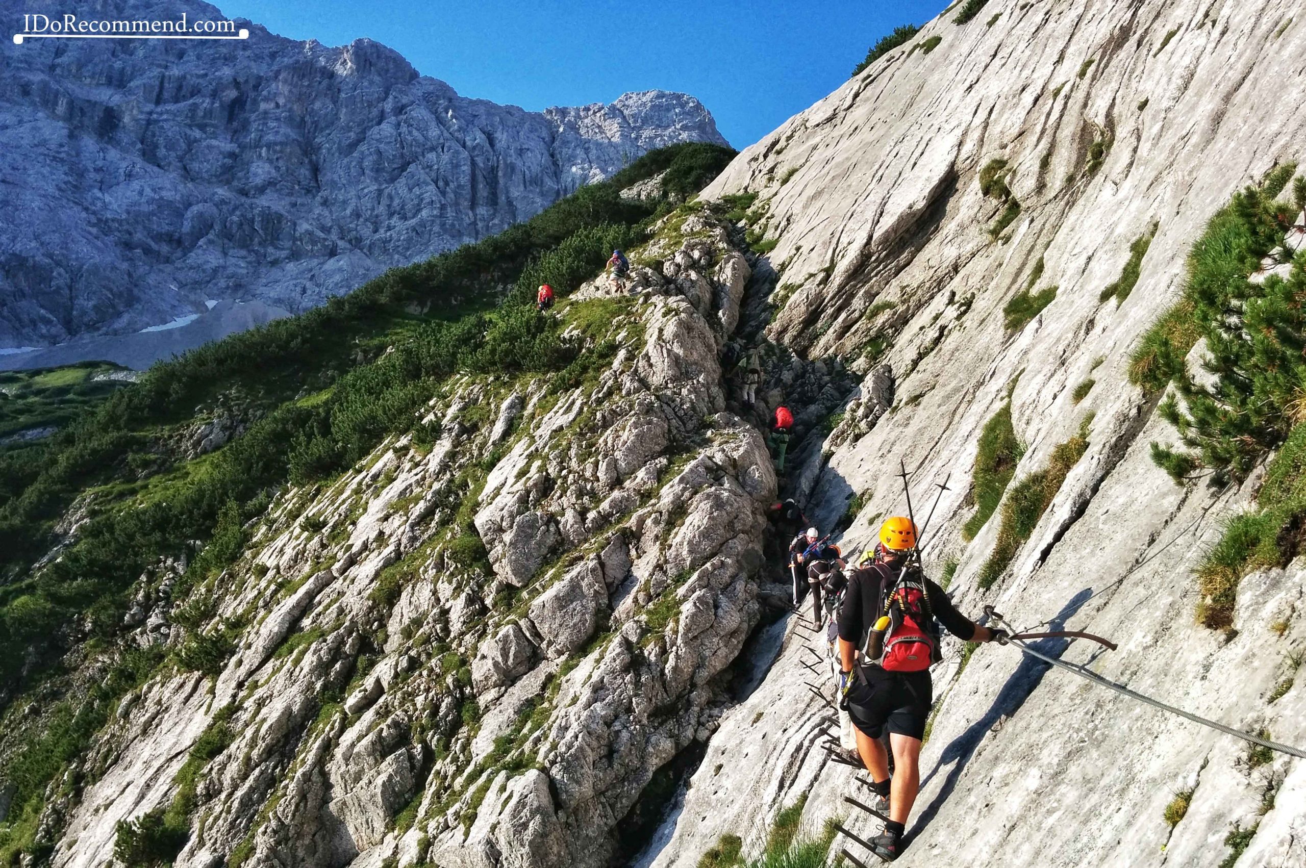
- Zugspitze Mountain | Randkluft via ferrata kit
-
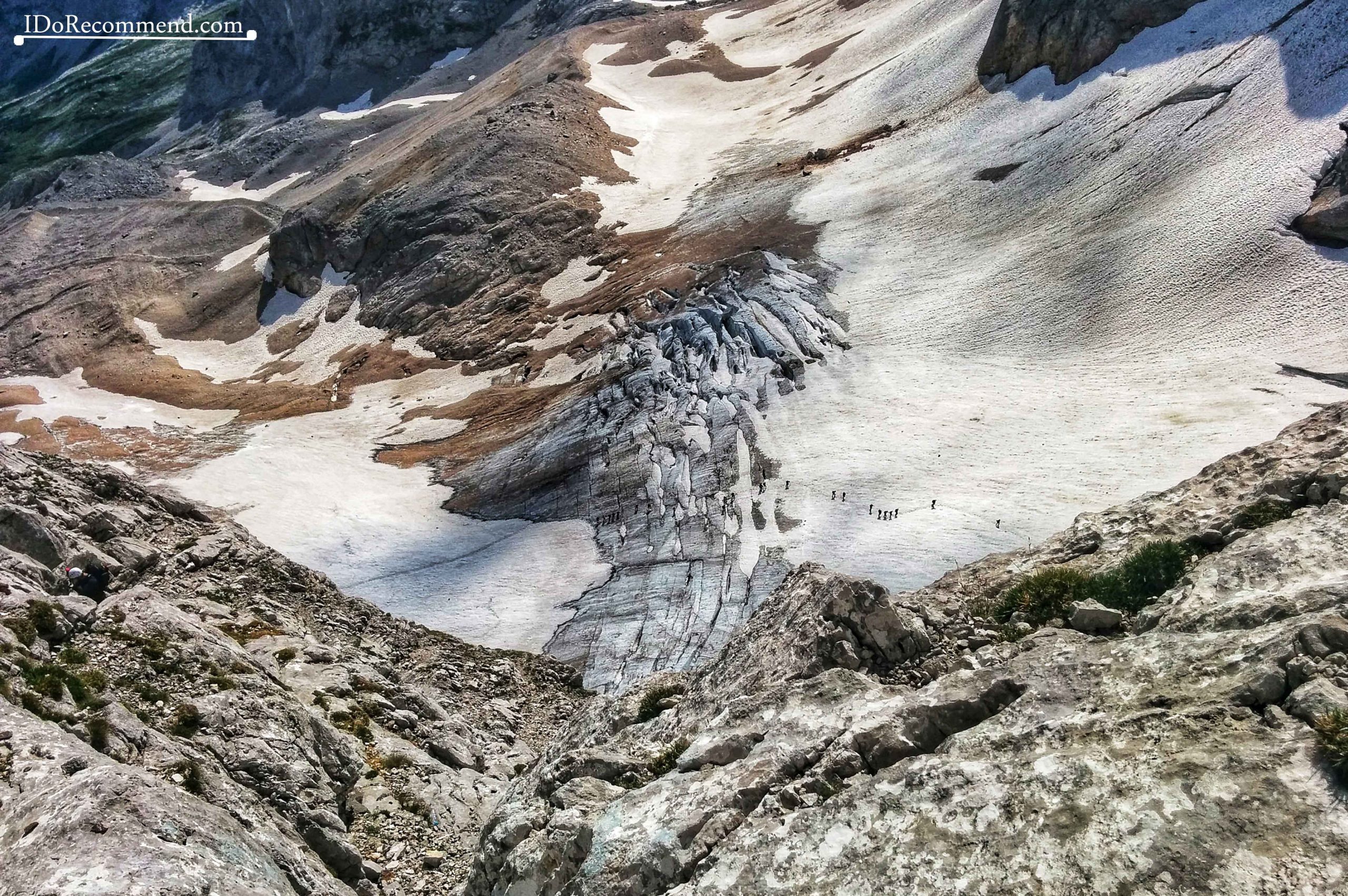
- Höllentalferner glacier
-
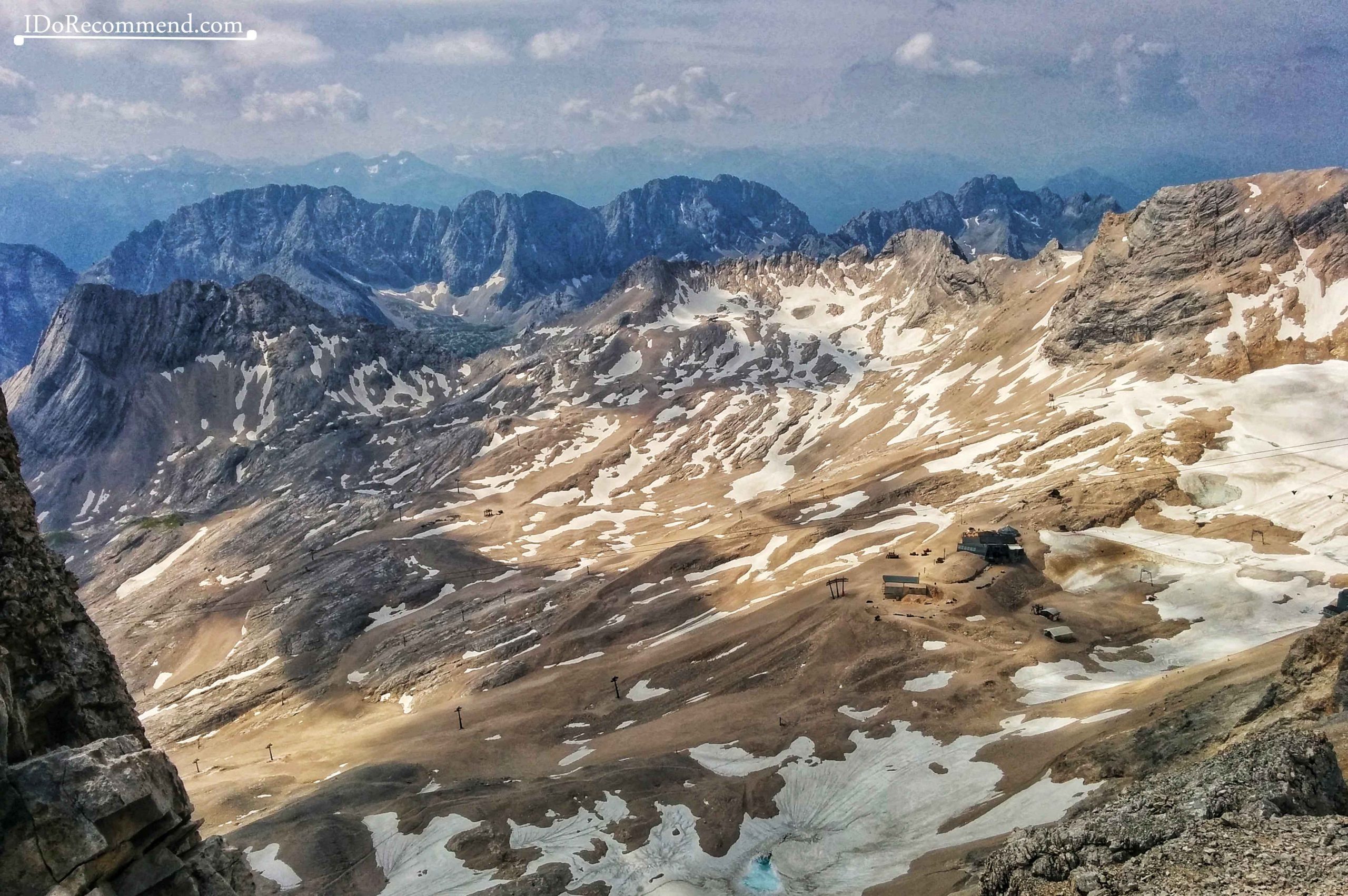
- Zugspitze summit in the distance
-
- Close to Zugspitze summit
-
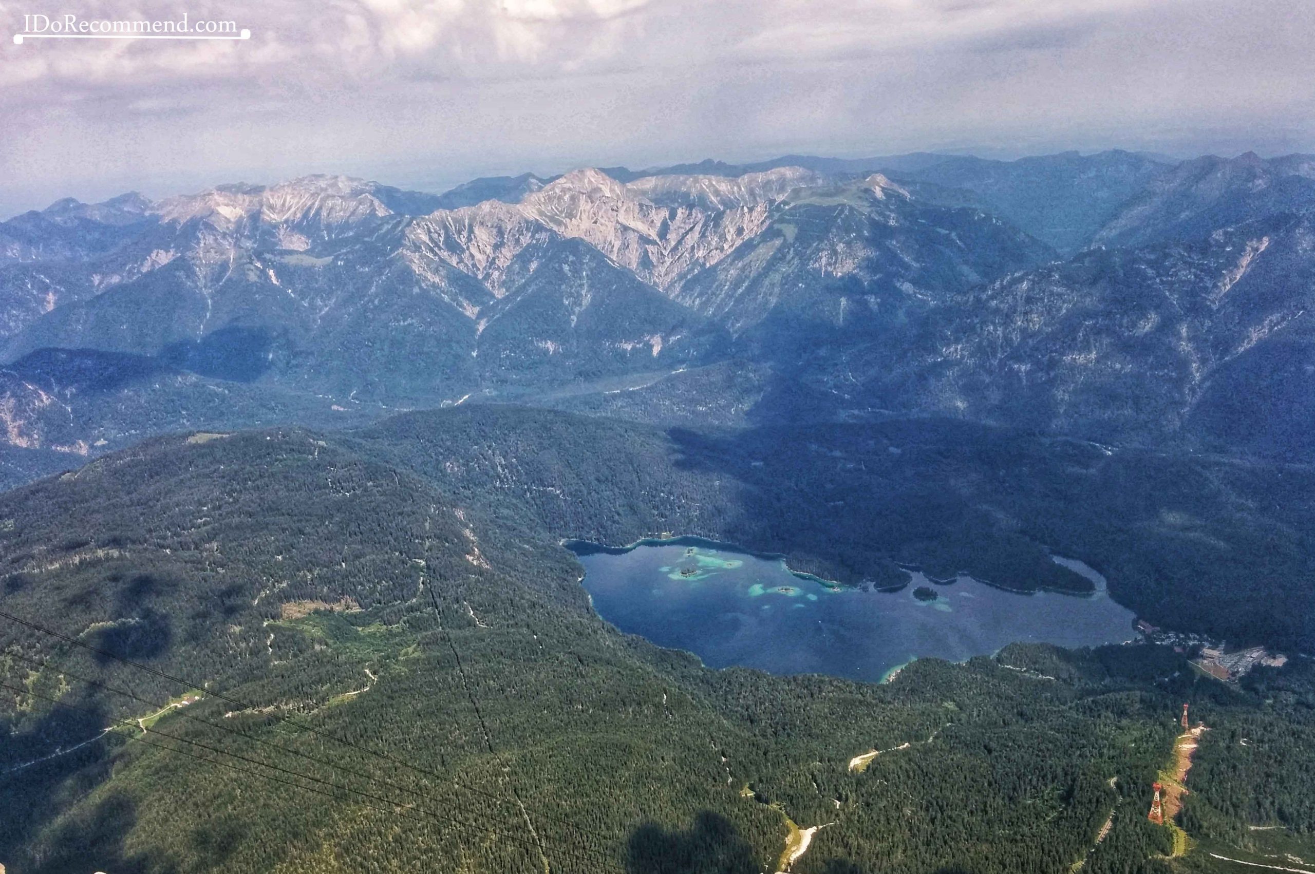
- Eibsee from above
-
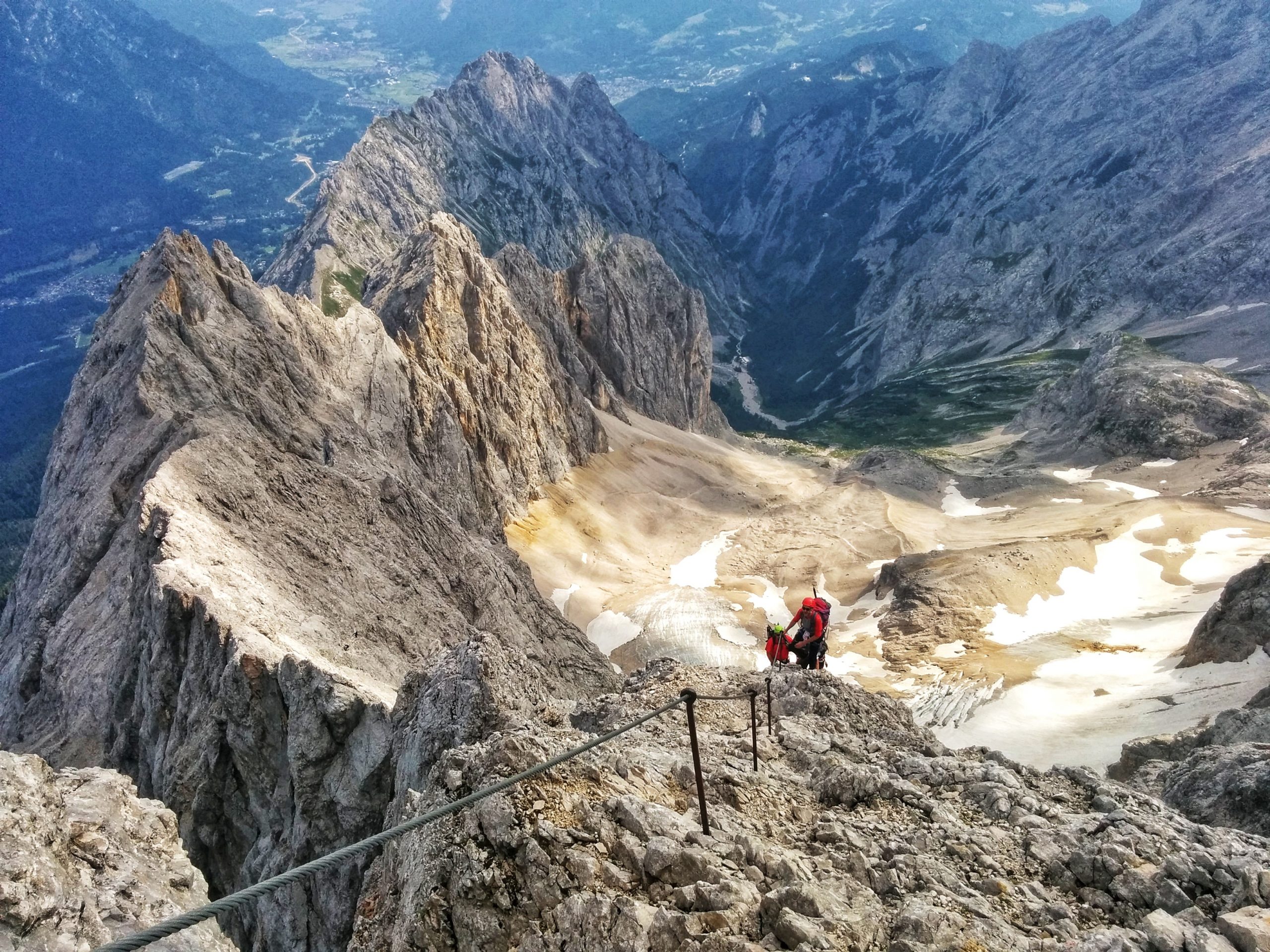
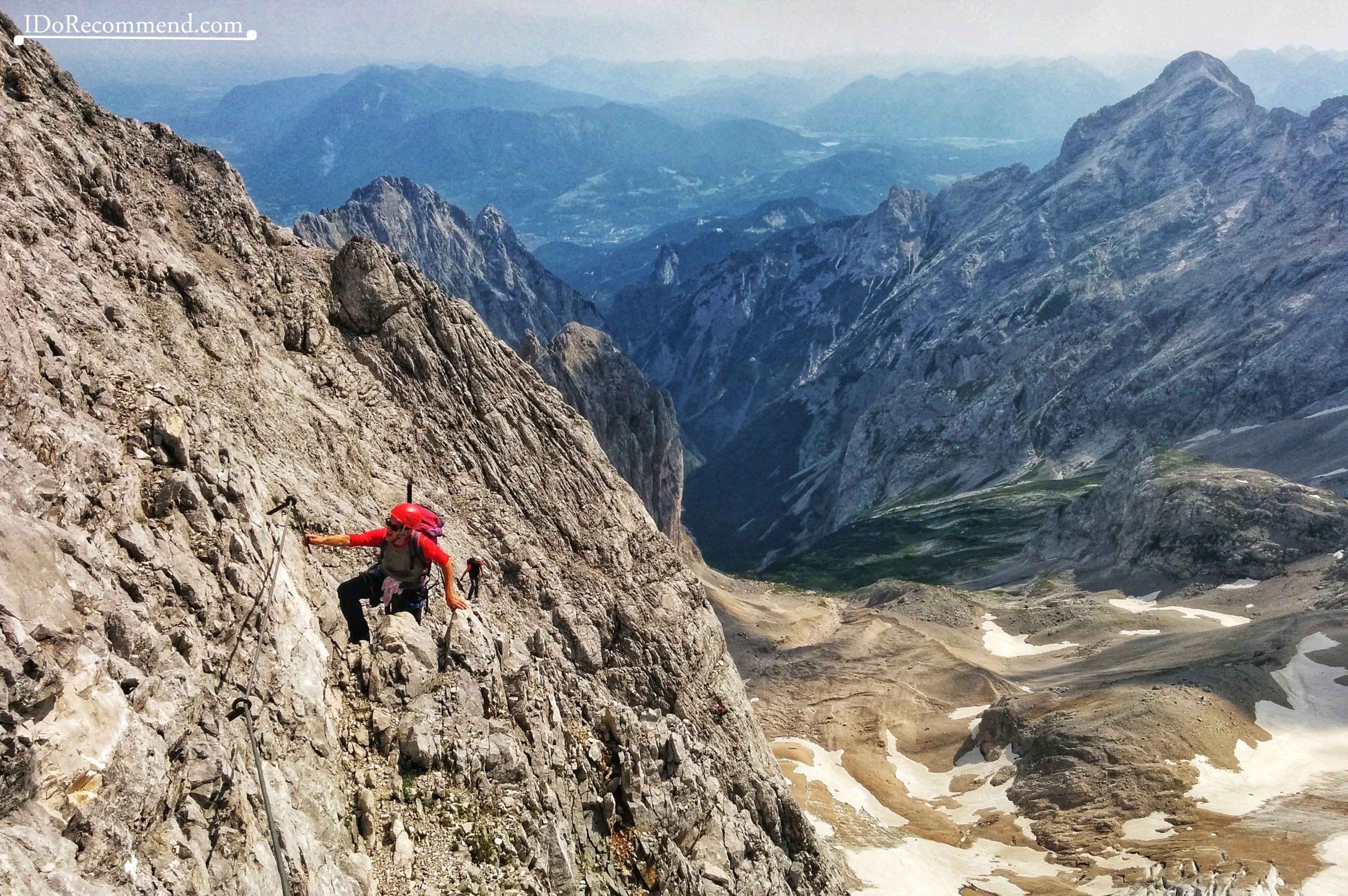
- Hiking to Zugspitze summit
-
- Hiking to Zugspitze summit
-
- Zugspitze summit in the distance
-
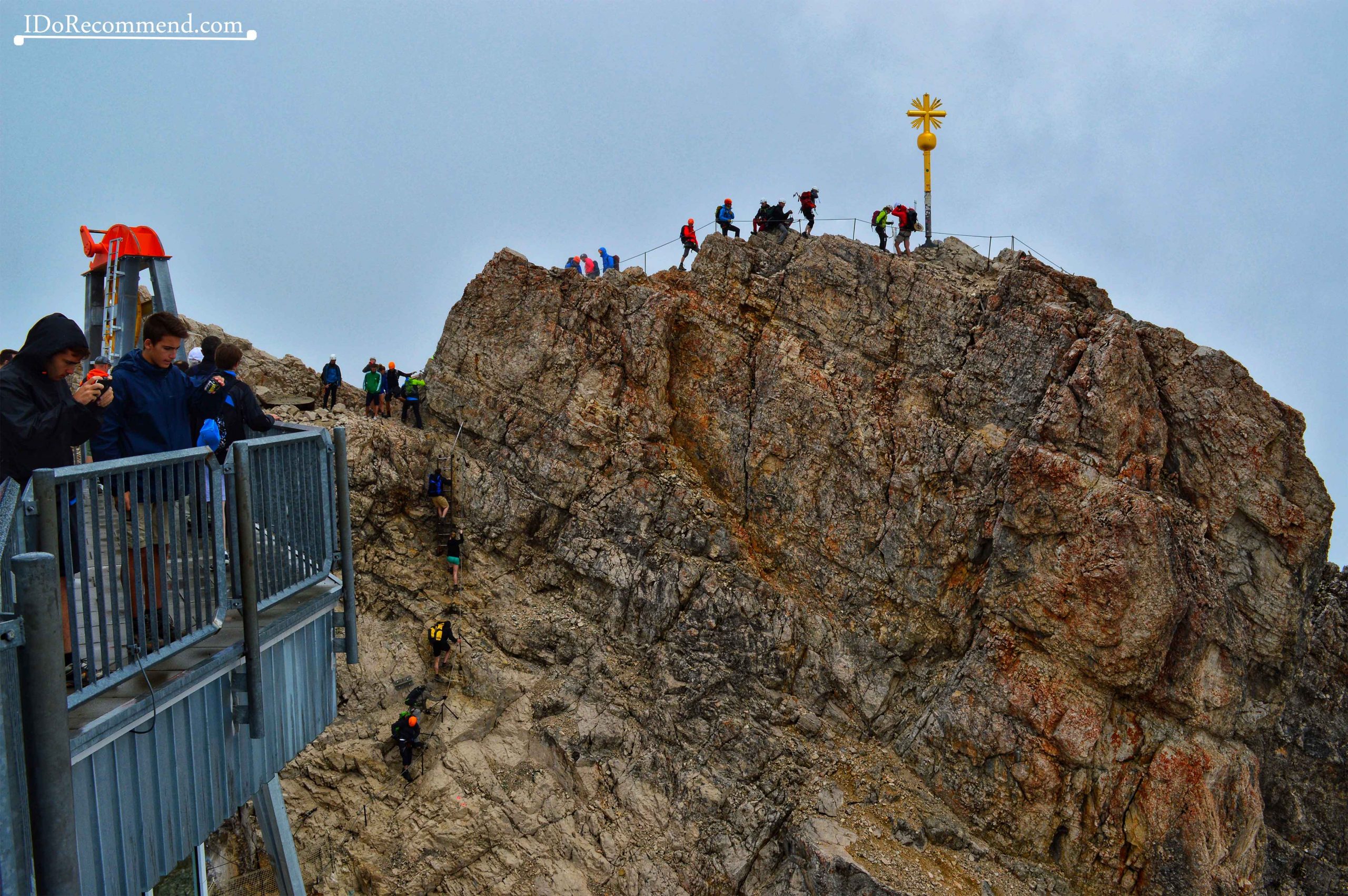
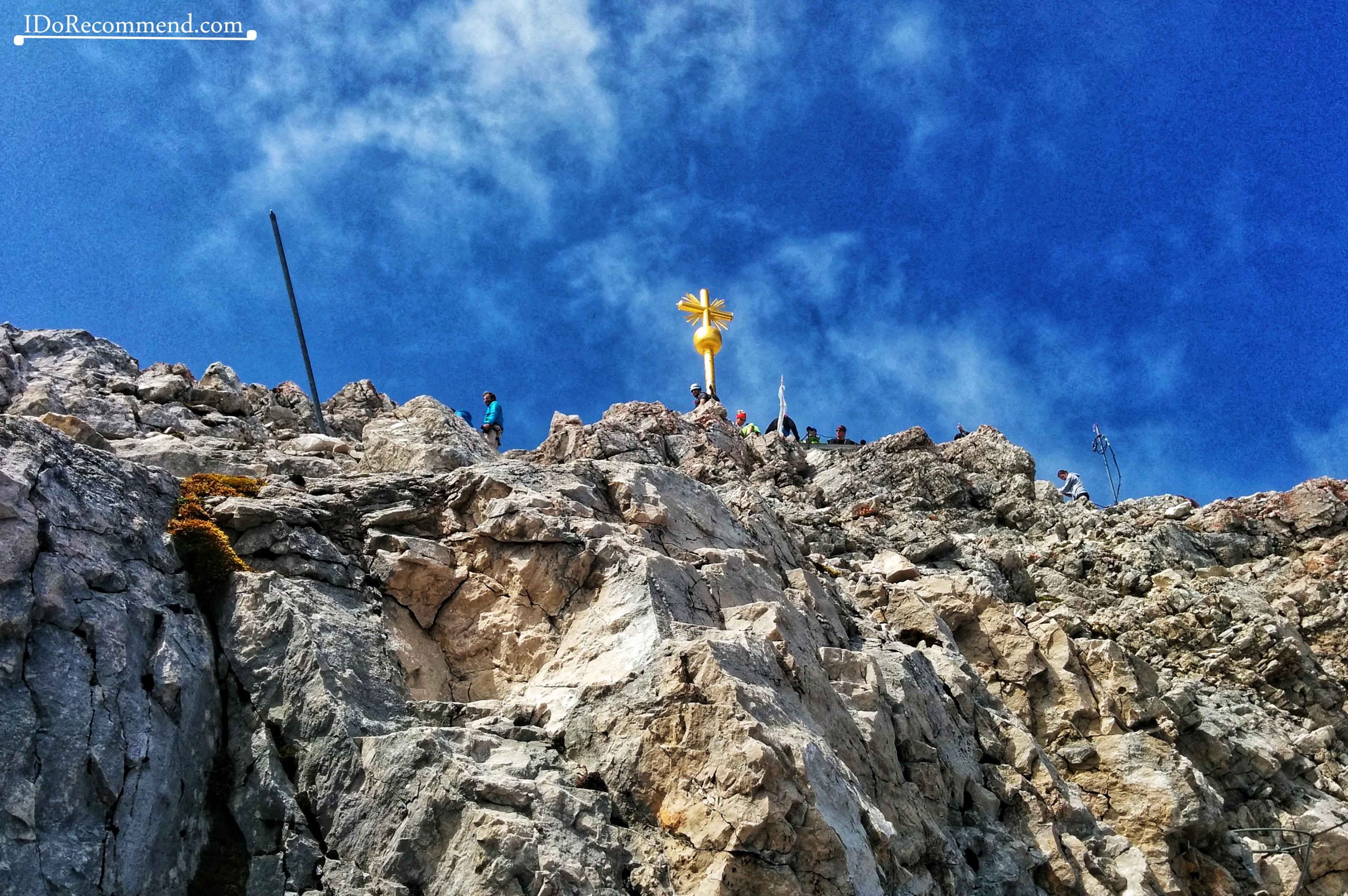
- Zugspitze summit
-
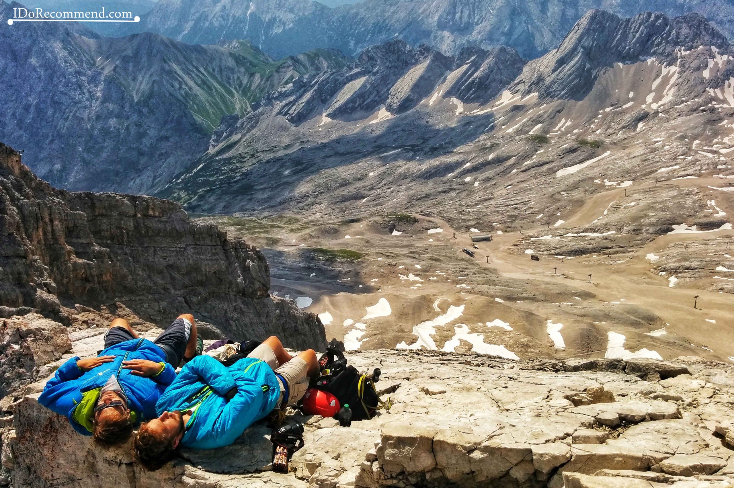
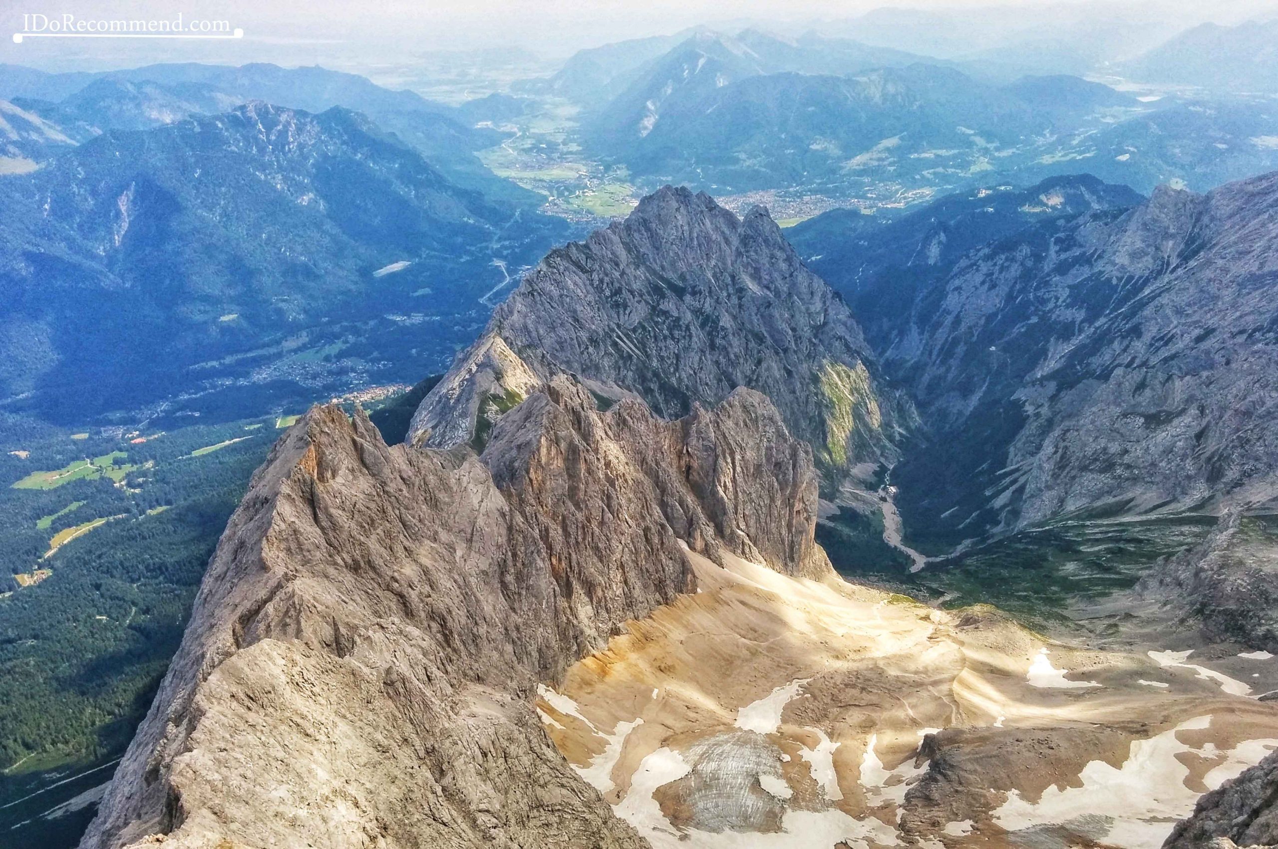
- View from Zugspitze summit
-
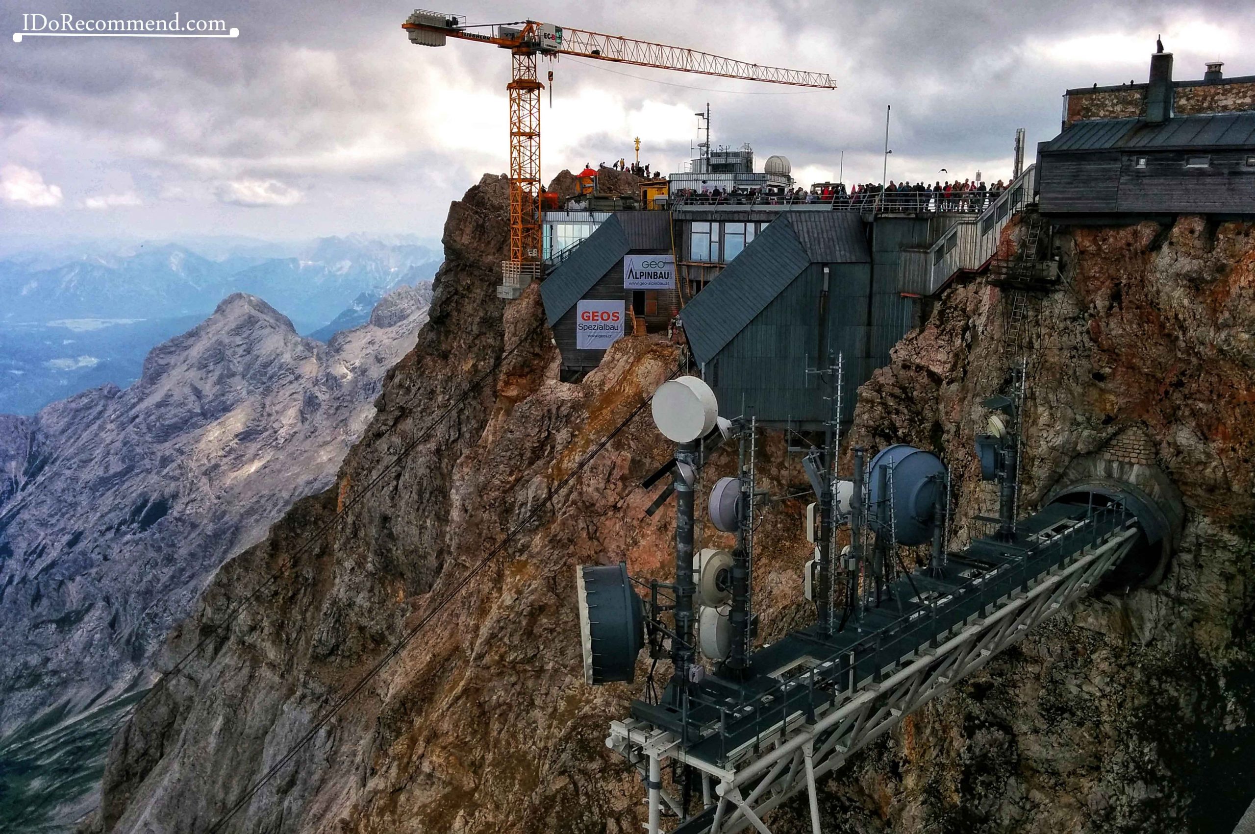
- Zugspitze summit
-
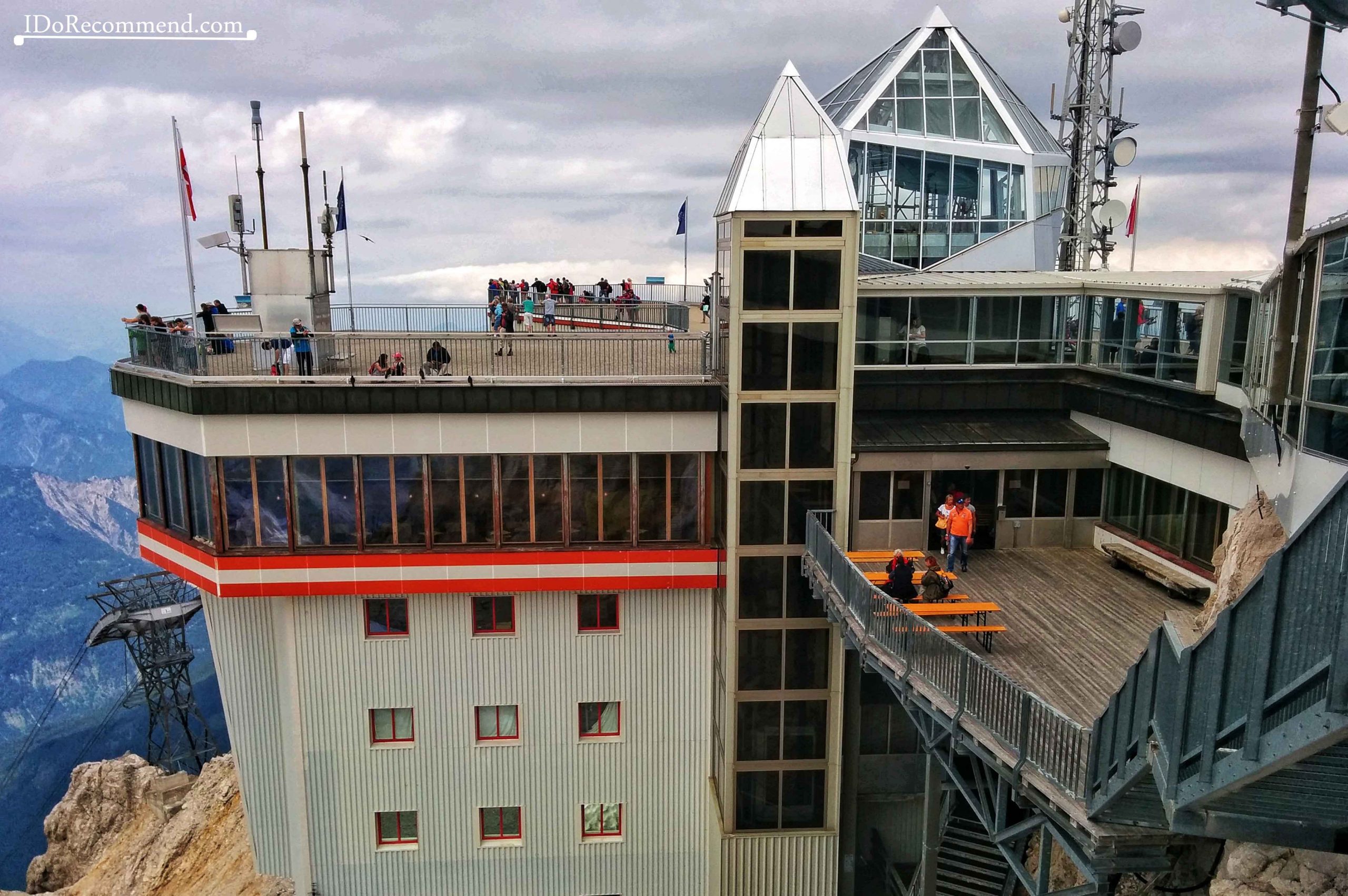
- Zugspitze summit
-
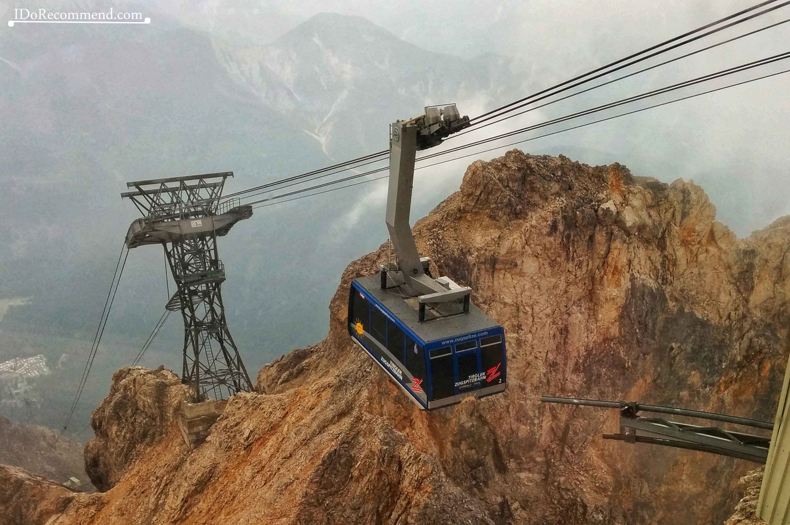
- Cable car descending from Zugspitze summit
-
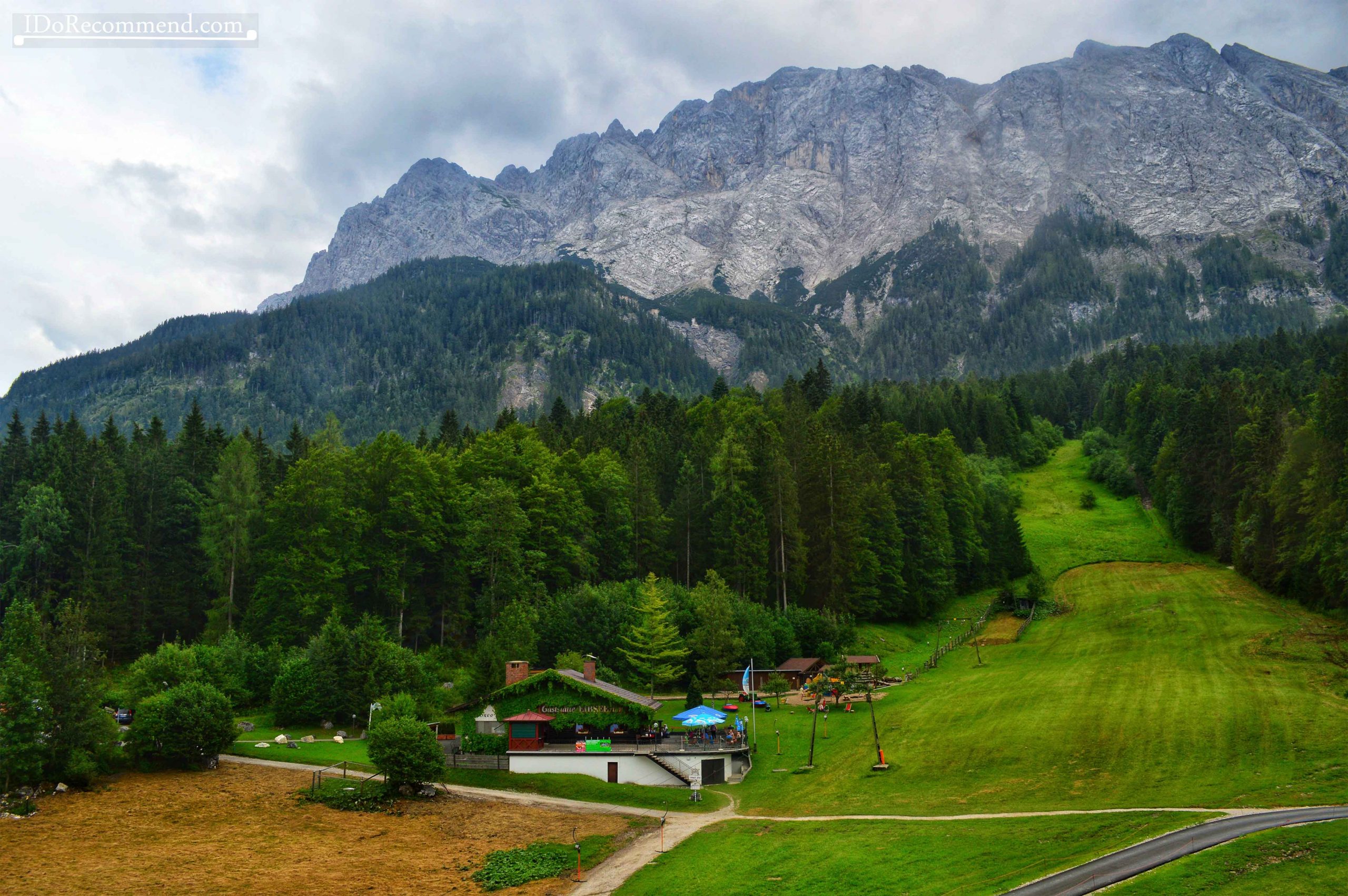
- Back to Garmisch-Partenkirchen
Follow the IDoRecommend posts to discover many other beautiful places on earth.